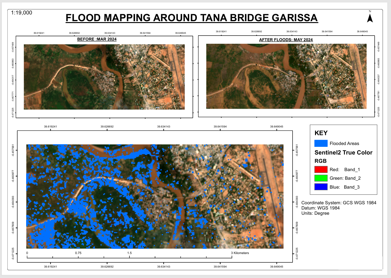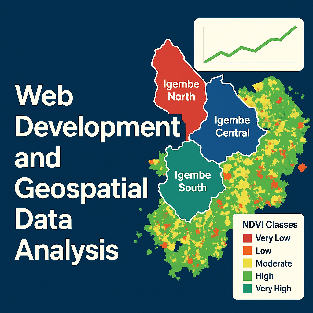
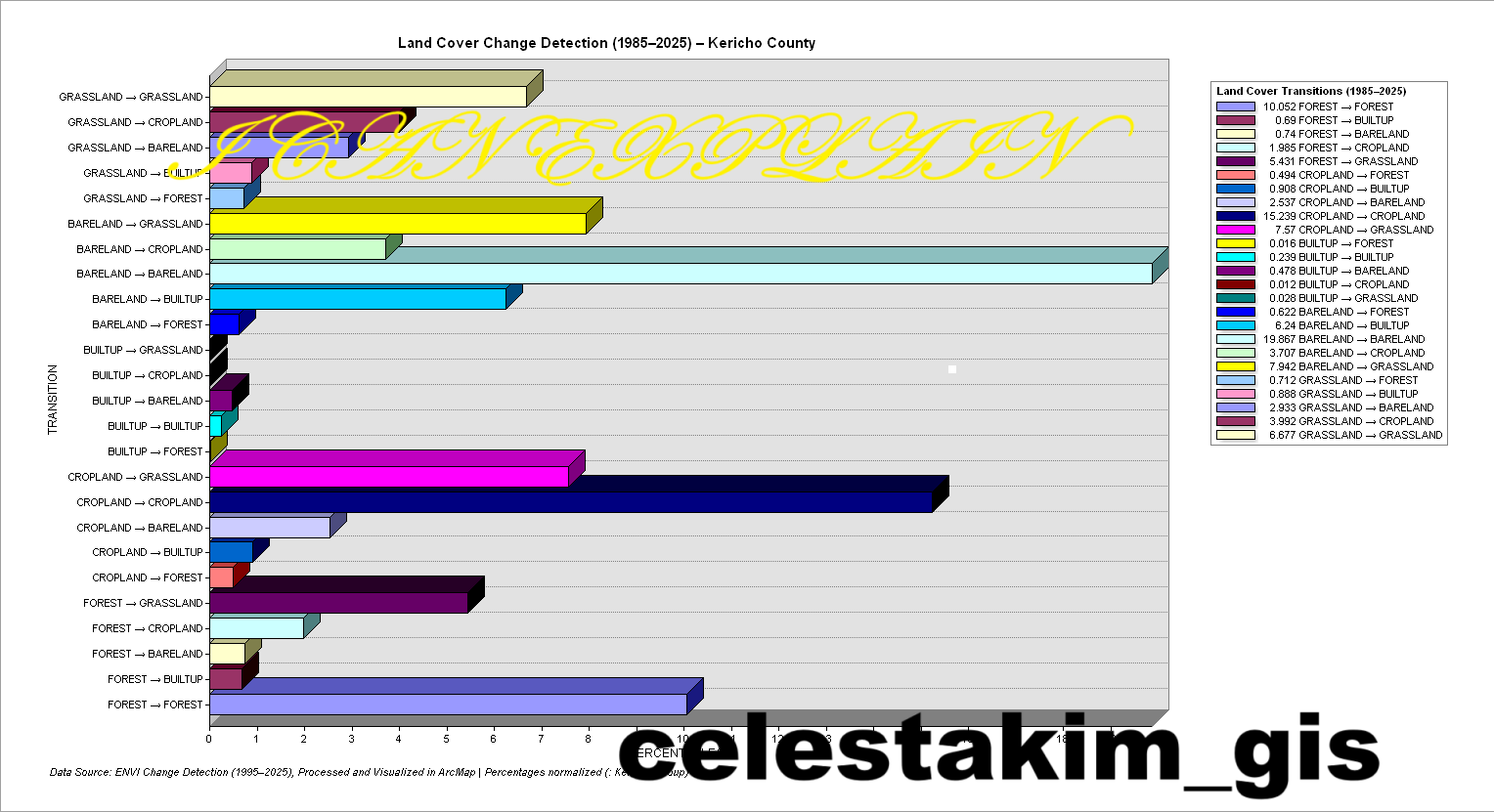






Featured Tutorial: GIS Analysis in Action
Watch this comprehensive tutorial demonstrating practical GIS analysis techniques using industry-standard software.
What is GIS?
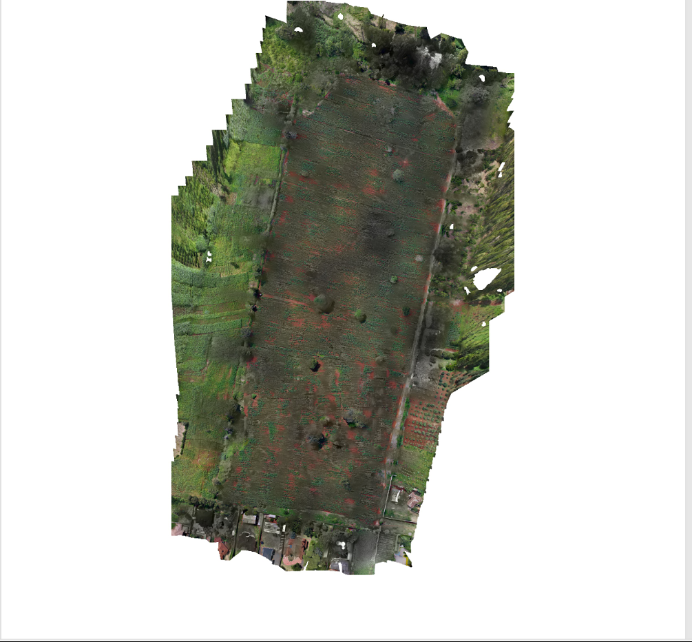
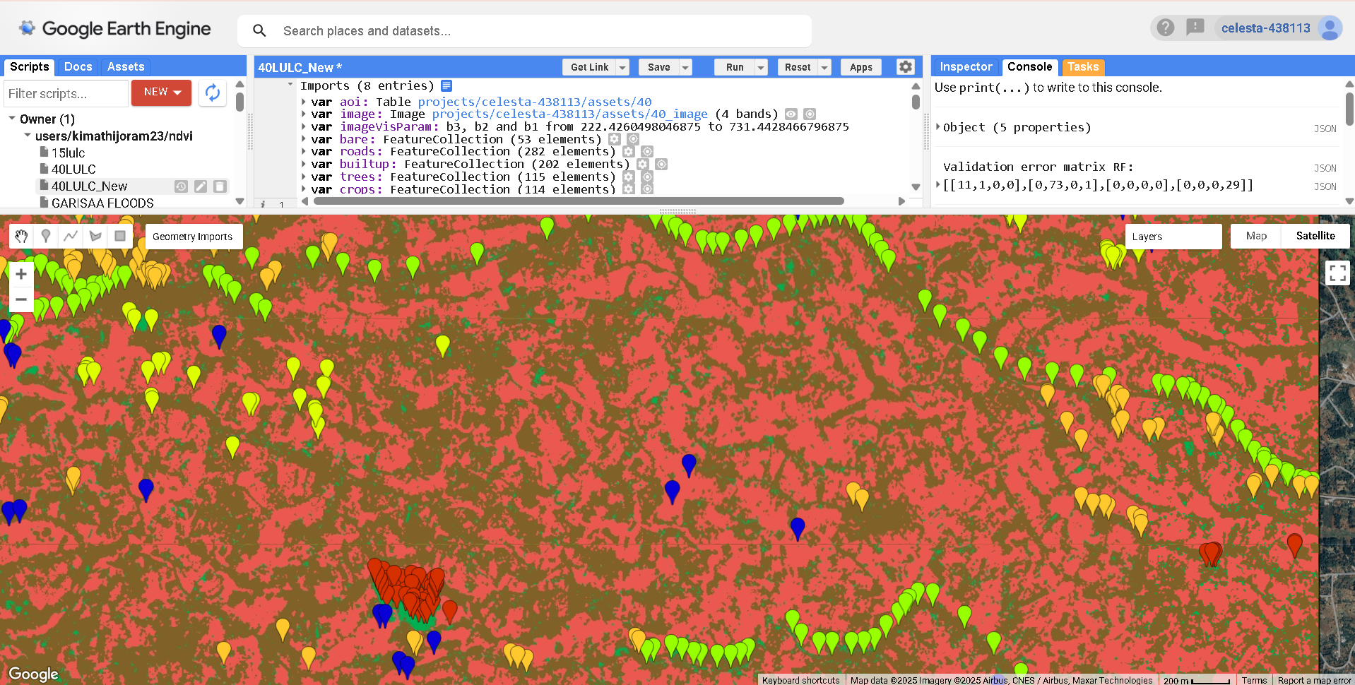
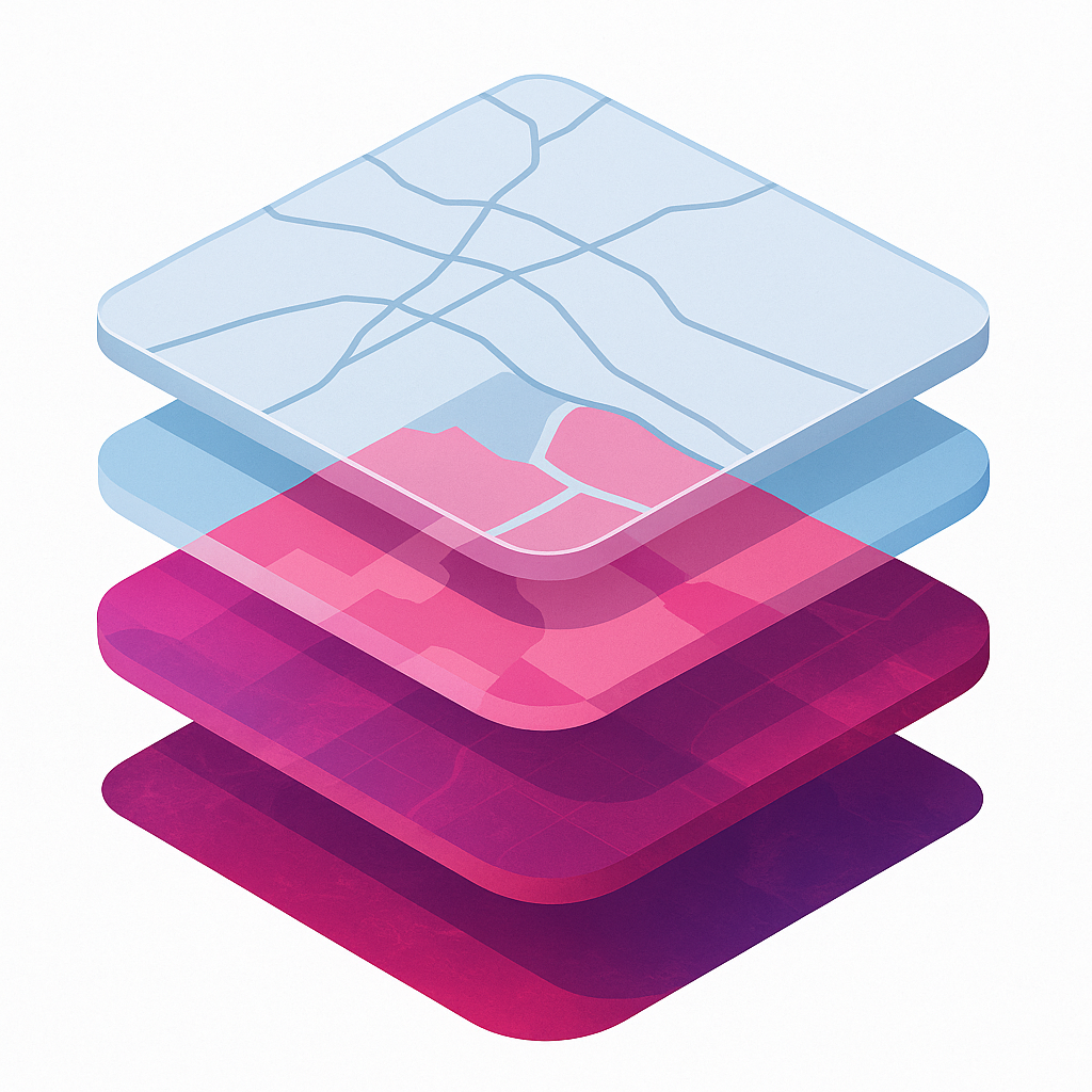
Geographic Information Systems (GIS) is a powerful technology that captures, stores, analyzes, and displays geographically referenced information, enabling users to understand spatial patterns and relationships for informed decision-making.
Complete GIS Service Capabilities
Vector Data Analysis
Data Creation & Editing
- Vector digitizing from imagery
- Georeferencing & coordinate transformation
- Topology creation & validation
- Attribute table management
Geometric Operations
- Clip & intersect operations
- Buffer creation & analysis
- Dissolve & merge operations
- Union & difference operations
Spatial Analysis
- Overlay analysis (intersect, union, identity)
- Proximity analysis (near, point distance)
- Spatial joins & relationships
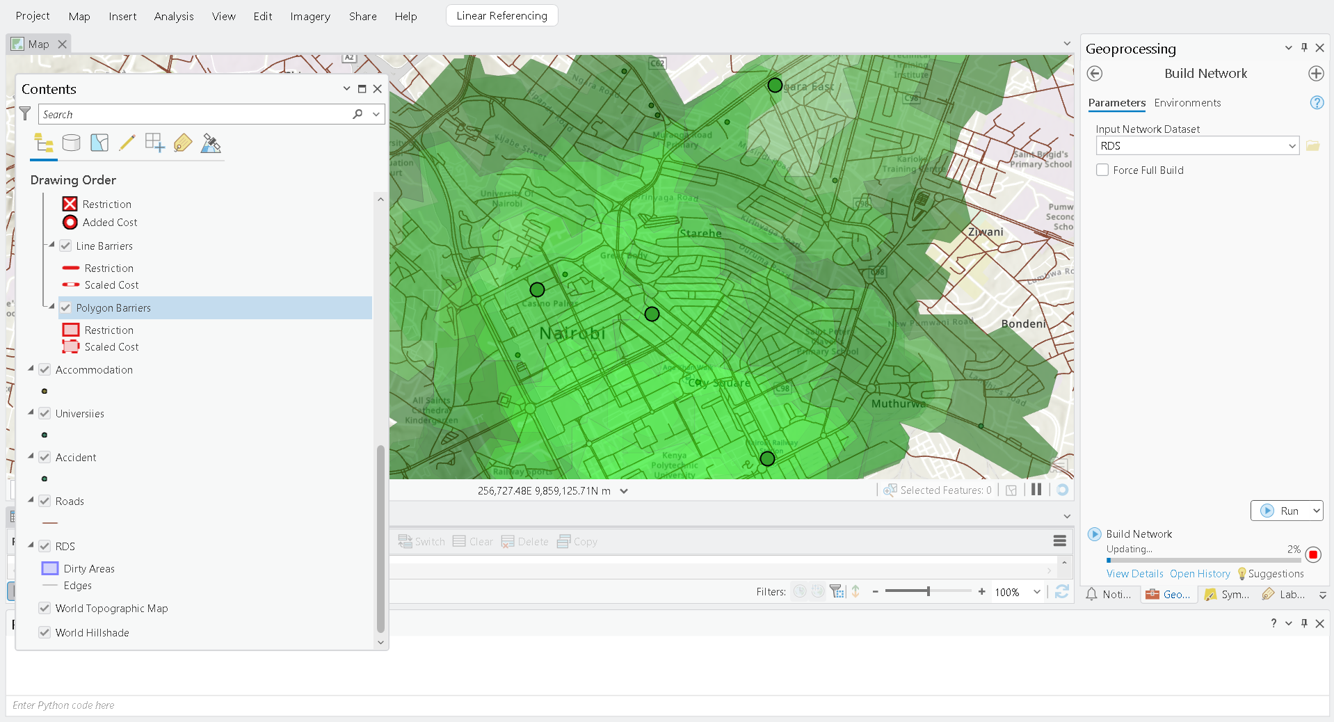
- Network analysis (shortest path, service areas)
Raster Data Analysis
Data Preparation
- Layer stacking & band composition
- Image subsetting & mosaicking
- Resampling & reprojection
- Format conversion & optimization
Spectral Analysis
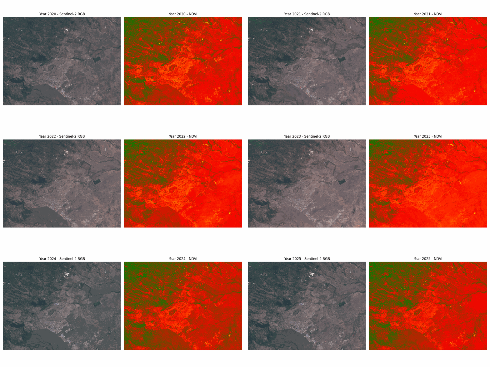
- NDVI (Normalized Difference Vegetation Index)
- EVI (Enhanced Vegetation Index)
- SAVI (Soil Adjusted Vegetation Index)
- Other vegetation indices (ARVI, GNDVI, etc.)
Image Enhancement
- Histogram equalization & stretching
- Contrast & brightness adjustment
- Noise reduction & filtering
- Pan-sharpening & resolution merge
Cartographic Mapping
Map Design
- Thematic map creation
- Choropleth & graduated symbol maps
- Dot density & proportional symbols
- Custom symbology & styling
Map Layout
- Multi-scale map production
- Legend creation & customization
- Scale bars & north arrows
- Coordinate system display
Advanced Cartography
- 3D terrain visualization
- Atlas creation & map series
- Web map publishing
- Interactive map development
Spatial Modeling & Automation
Model Builder
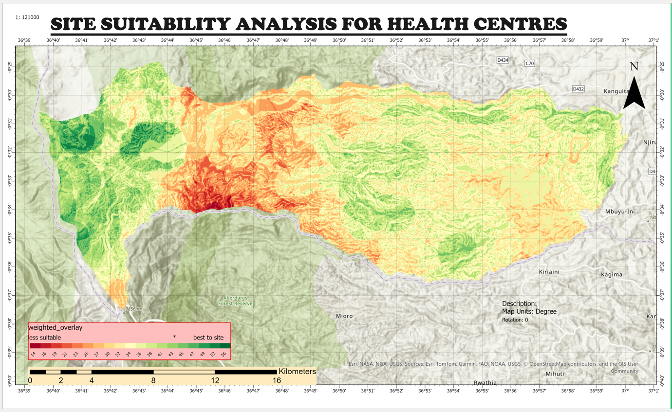
- Site suitability modeling
- Multi-criteria decision analysis
- Weighted overlay operations
- Automated workflow creation
Geoprocessing Automation
- Batch processing scripts
- Python automation (ArcPy, PyQGIS)
- Custom tool development
- Workflow optimization
Advanced Analysis
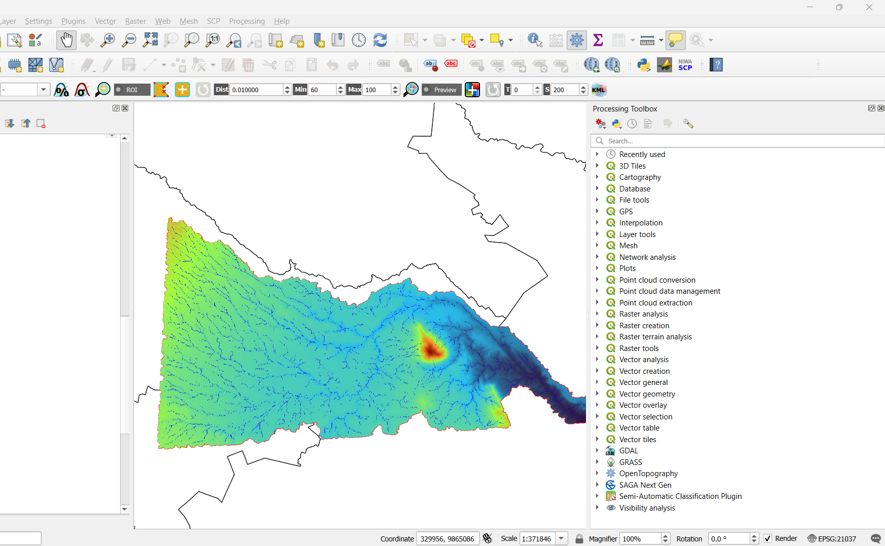
- Hydrological modeling
- Terrain analysis (slope, aspect, viewshed)
- Interpolation techniques
- Statistical spatial analysis
Ready to Transform Your Spatial Data?
Explore my complete range of GIS services and let's discuss how I can help with your geospatial projects.